infsoft Maps Editor
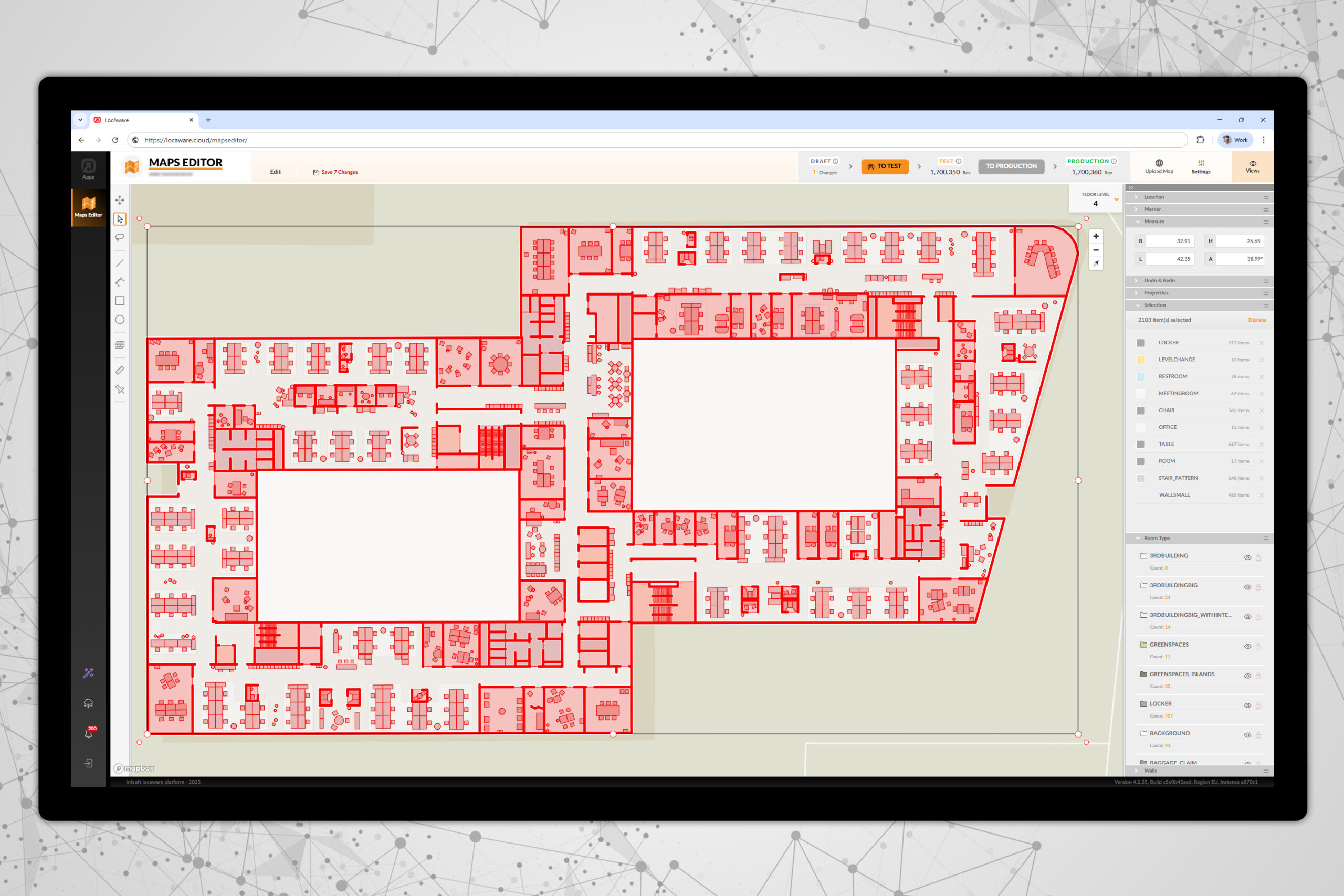
The map data managed in the infsoft Maps Editor serves as the central foundation for all map-based applications within the infsoft LocAware platform® and connected frontend solutions. The Maps Editor enables the creation and ongoing maintenance of geo-referenced location data. Within the editor, building layouts, rooms, and structural as well as functional elements are digitally captured and managed.
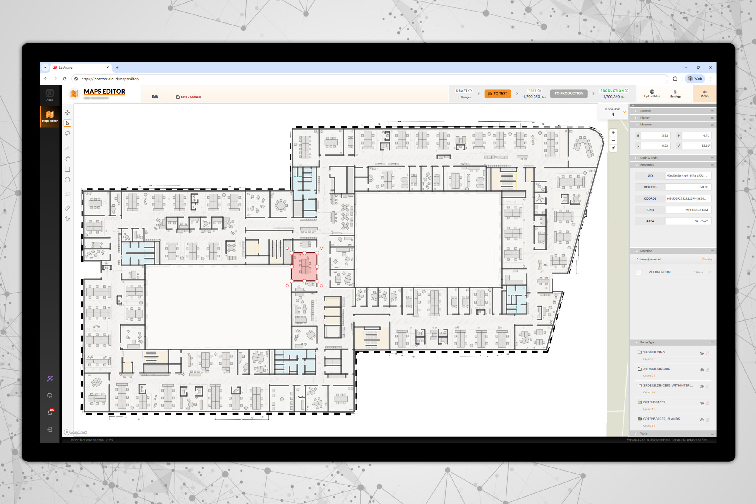
This results in a digital representation of buildings across multiple floors, in which the spatial infrastructure (such as machinery, workstations, meeting rooms, sanitary areas, etc.) is modeled using polygons and wall elements. Each recorded polygon is assigned a specific pattern, which defines its properties and enables both functional and visual differentiation. Patterns control attributes such as color coding, prioritization, and visualization within the 3D view.
The digital structures created in the Maps Editor are made available system-wide across all geo-referenced tools provided by infsoft.
Creation of Digital Building
Maps
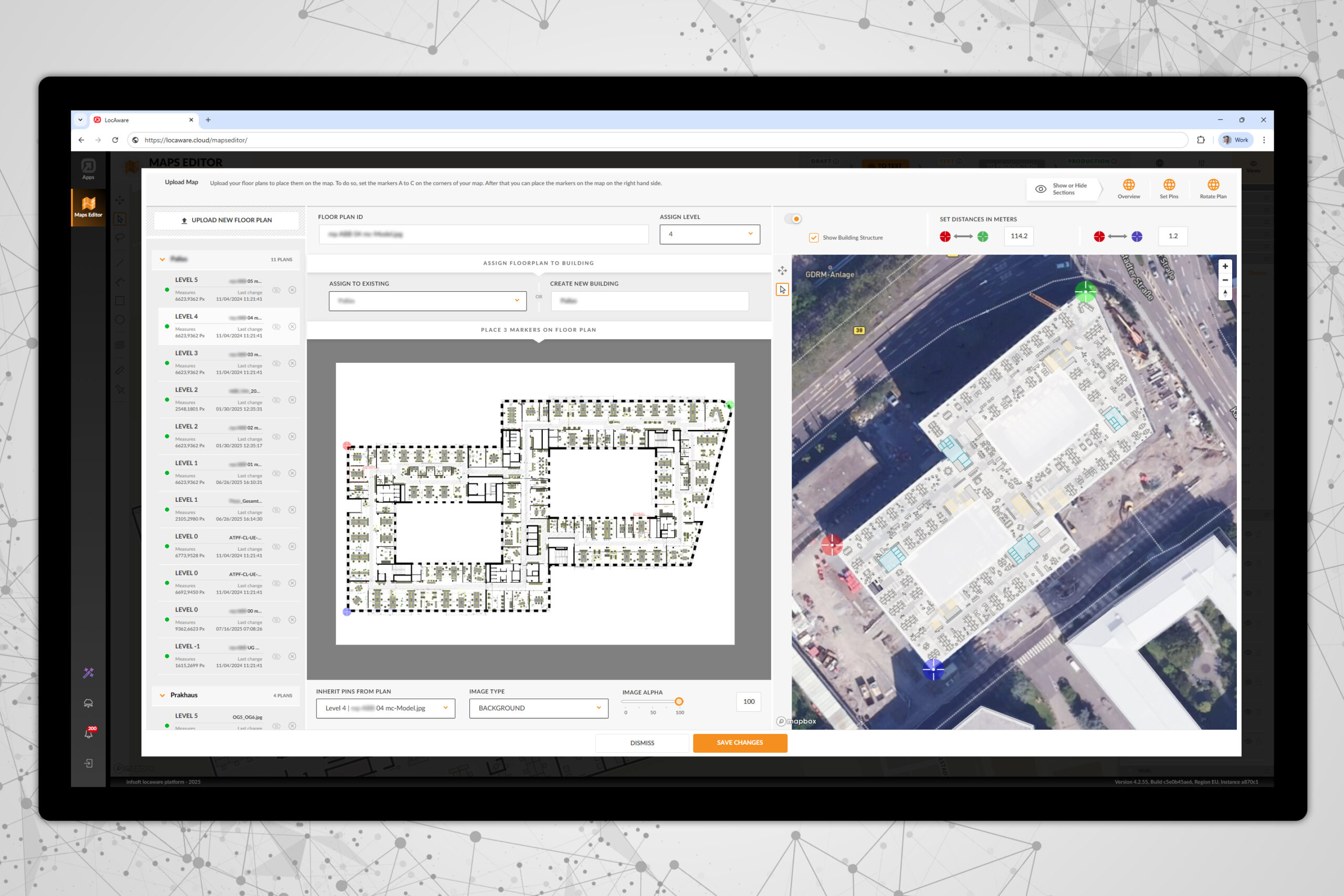
With the infsoft Maps Editor, building layouts can be precisely aligned with the floor plans of external base maps.
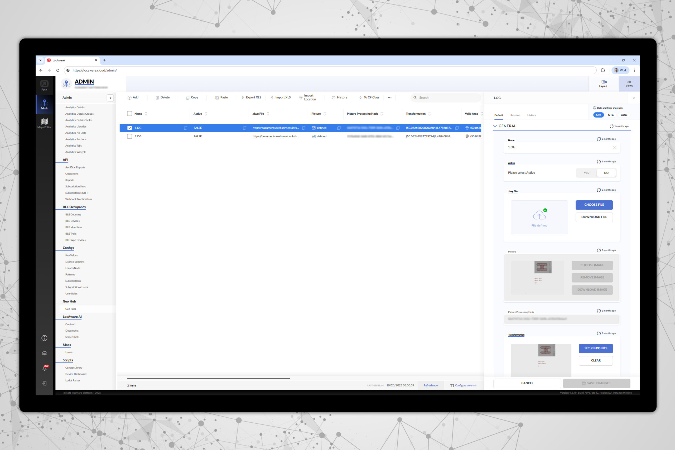
Each floor plan is projected as a separate layer onto the corresponding site map. The basis for this can be provided graphic or CAD files, which are geo-referenced and integrated into the editor.
WGS84-compliant data with latitude, longitude, and level information
By referencing the background map, all elements – from areas and rooms to pathways – are GPS-referenced across all levels and fully compliant with the WGS84 standard. Coordinates are consistently provided in the format Latitude, Longitude, and Level.
This ensures seamless data exchange with third-party systems, typically without the need for additional coordinate transformations.
Versatile import formats & CAFM integration
The infsoft Maps Editor supports integration with third-party CAFM systems and enables the exchange of data in a wide range of standard file formats. These include XML, SVG, JPG, PNG, PDF, GML, GeoJSON, DWG, DXF, Shapefile, and IMDF.
Thanks to this broad format compatibility, the editor can be seamlessly integrated into existing IT infrastructures.
Precise measurement of map
content
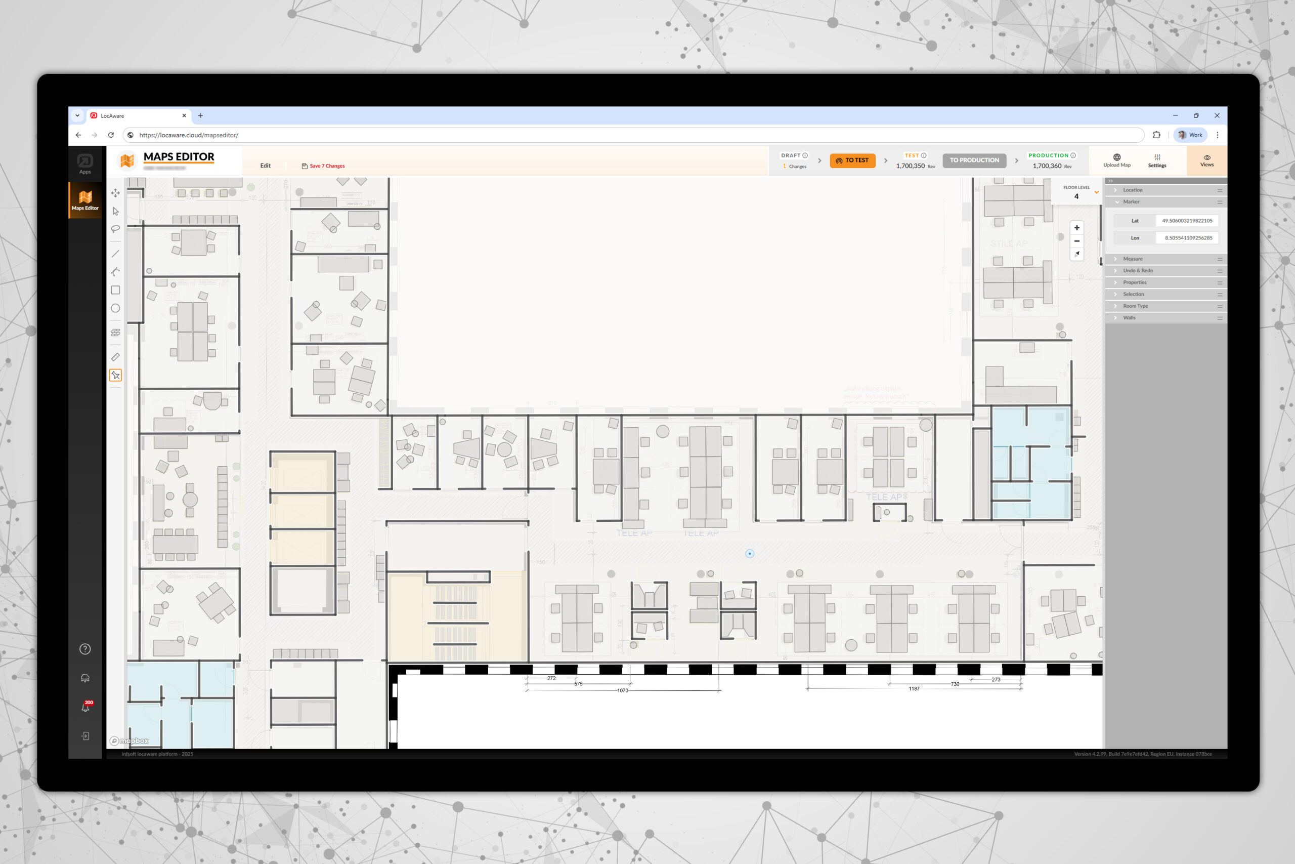
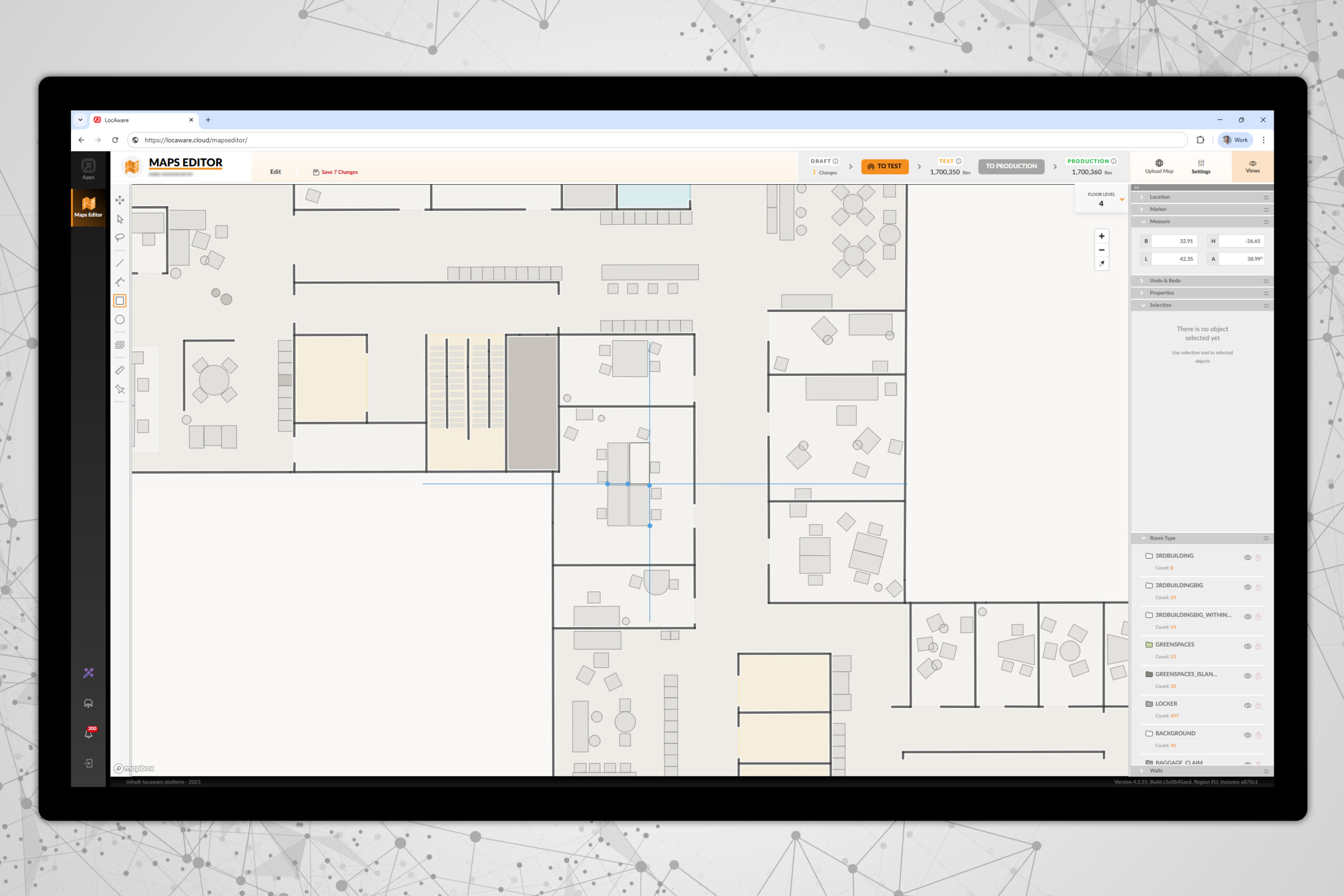
The infsoft Maps Editor enables fast and accurate measurement of distances, for example along room walls. With a single click, the map can be aligned to a selected line parallel to the horizontal map edge, making drawing tasks more efficient.
Thanks to GPS referencing, all drawn polygons are to scale, allowing for reliable calculation of area sizes.
Room Polygons for Vector-Based Maps
In the aligned map, areas and rooms can be digitally captured as polygons using integrated drawing tools. These polygons are assigned patterns, which define attributes such as color scheme and height behavior in the 3D view.
When importing data from third-party systems (e.g., via GeoJSON), patterns can be automatically assigned correctly through object references.
Map views with 2D/3D
visualization
Created areas and rooms can be assigned various attributes, called patterns.
These control aspects such as color representation, visualization in 2D and 3D views (including variable heights), and visibility at specific map zoom levels.

