Digitization – Indoor Mapping and Digital Twin
Introduction
There are many ways indoor digitization can benefit buildings. Digital recording of interior spaces serves multiple customer requirements, such as easy orientation, efficient management of buildings, and connection of digitized processes and information with building structures, interior attributes and building facilities.
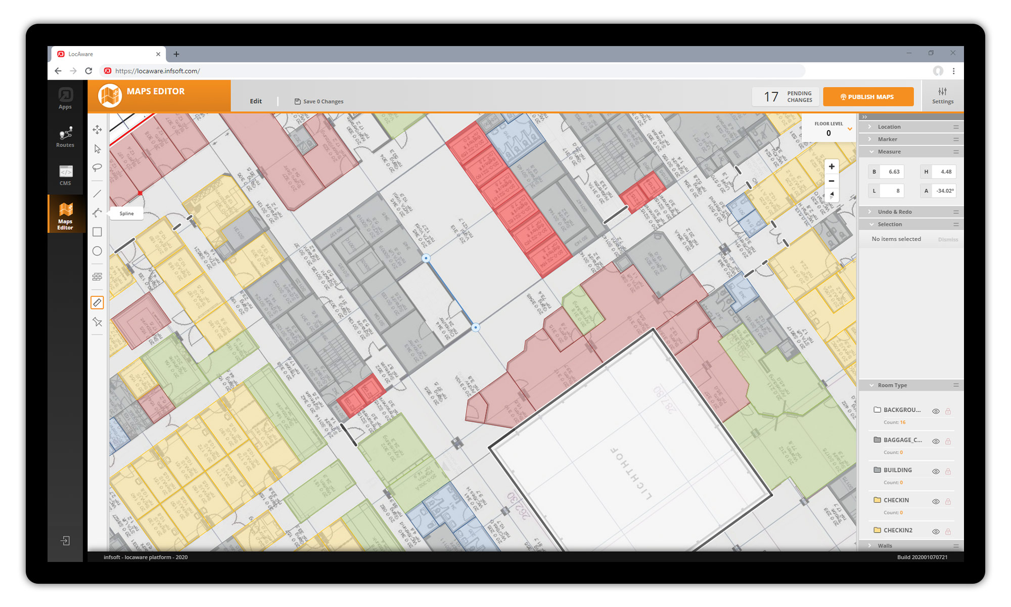
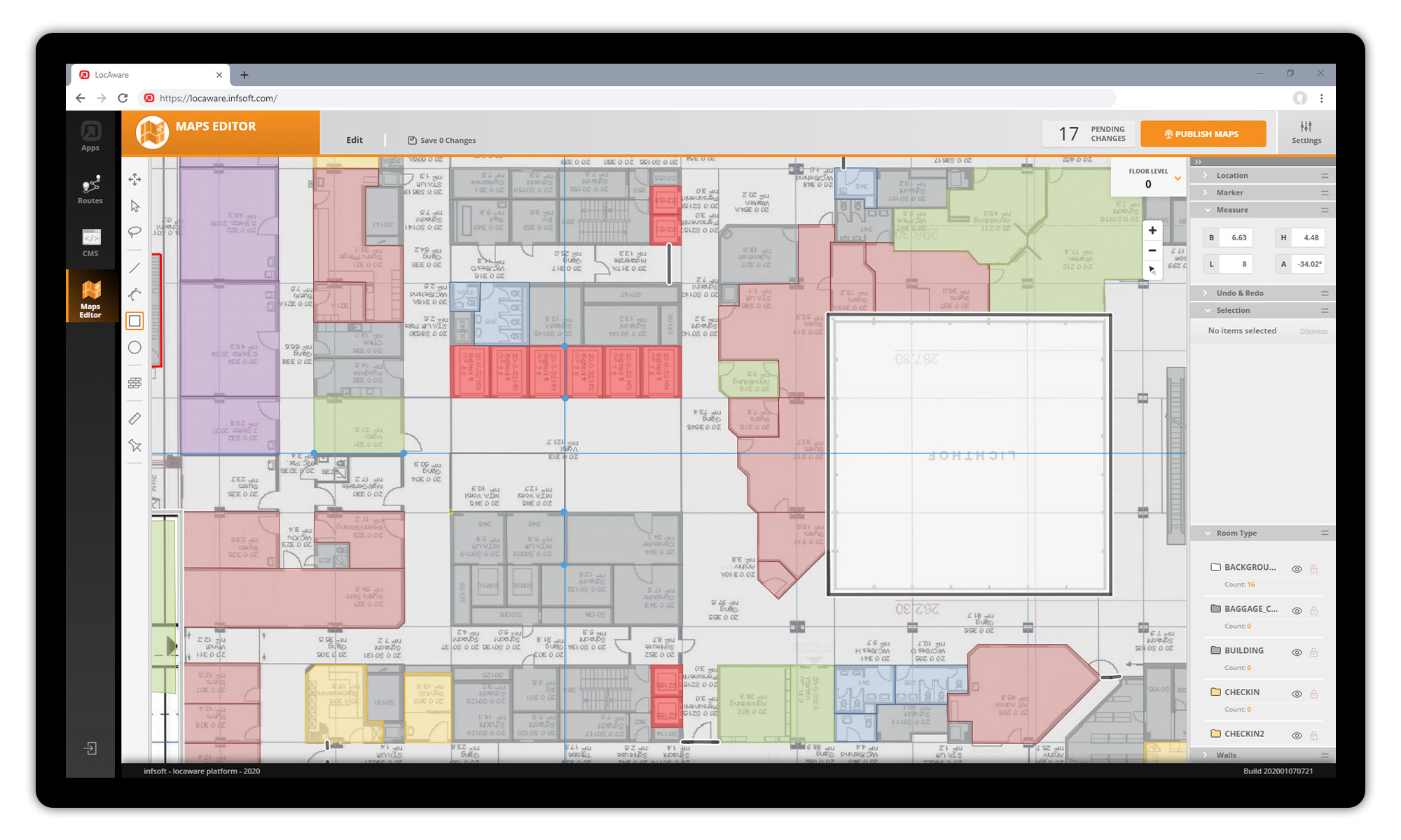
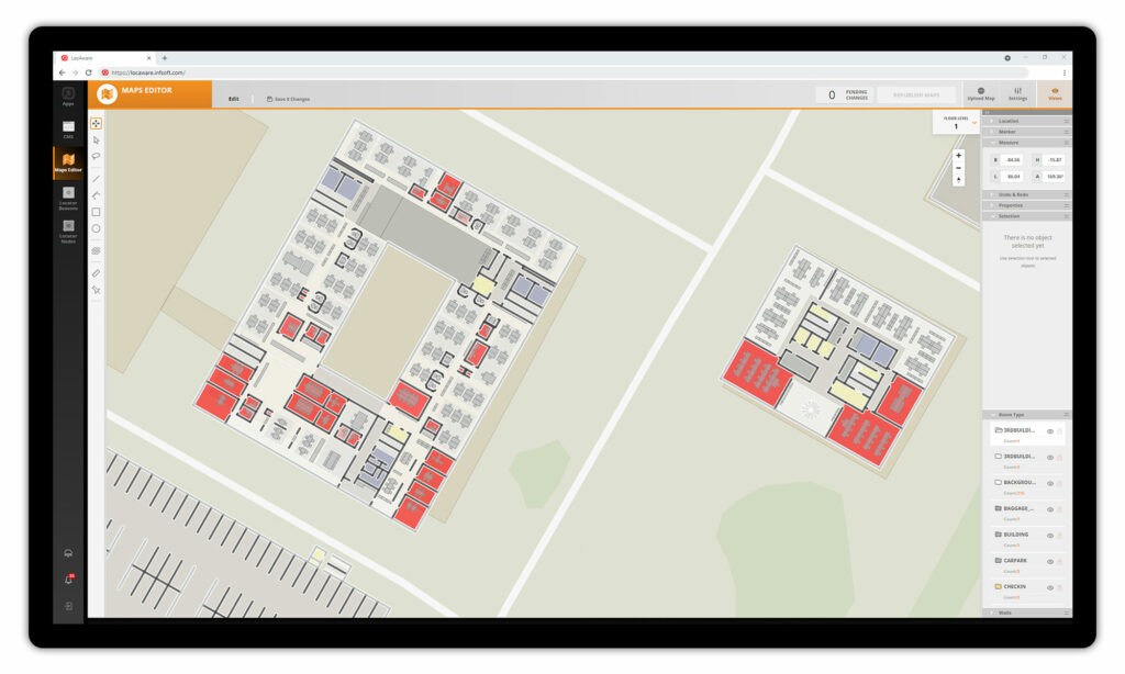
With the infsoft Maps Editor, infsoft offers a simple way to capture large and complex areas with their different buildings in detail at all levels. Mapping a site is the first step in any indoor localization project – and critical to unlocking the digital value of indoor spaces. With access to digital maps and to every level of building information, all indoor processes can be digitized.
Creating a location and importing existing plan data (e.g. as an image file) takes only a few minutes. The plans can be organized according to buildings by level, so that a clear administration is possible. Subsequently, the room structures are simplified on the basis of polygons, which are provided with properties such as color, representation in 2D/3D and height attributes in so-called patterns.
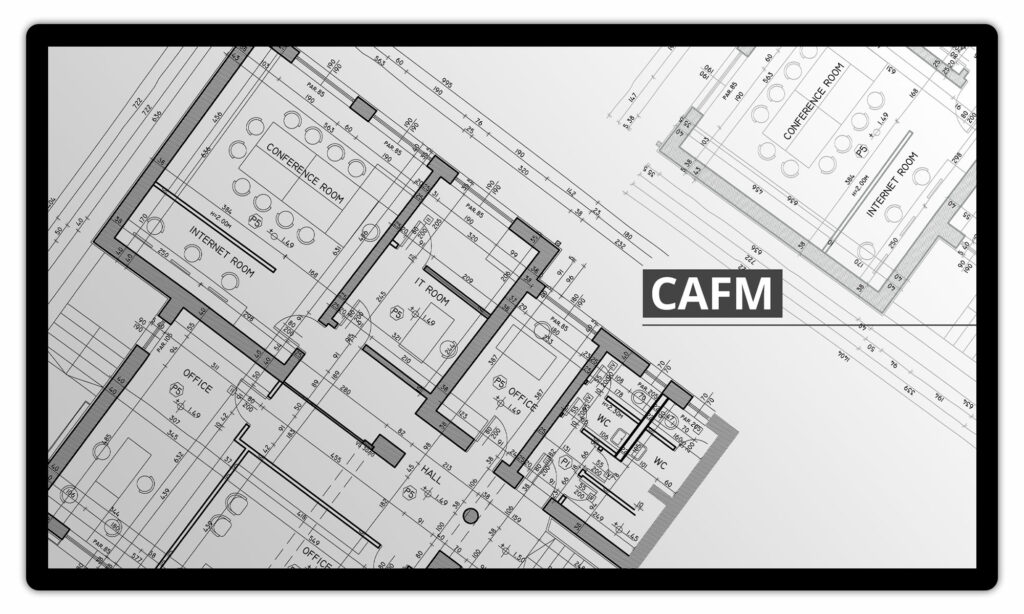
Integration with CAFM systems
The infsoft LocAware platform® offers various integrations with third-party CAFM systems and can exchange information via the following data formats, for example: XML, SVG, JPG, PNG, PDF, GML, GeoJSON, DWG, DXF, Shapefile, IMDF.
The data provided via interface is then mapped to the patterns defined for the location. This enables automatic updating of all building plans.
The data from the deployed CAFM (third-party system) provides the basis of the digitization.
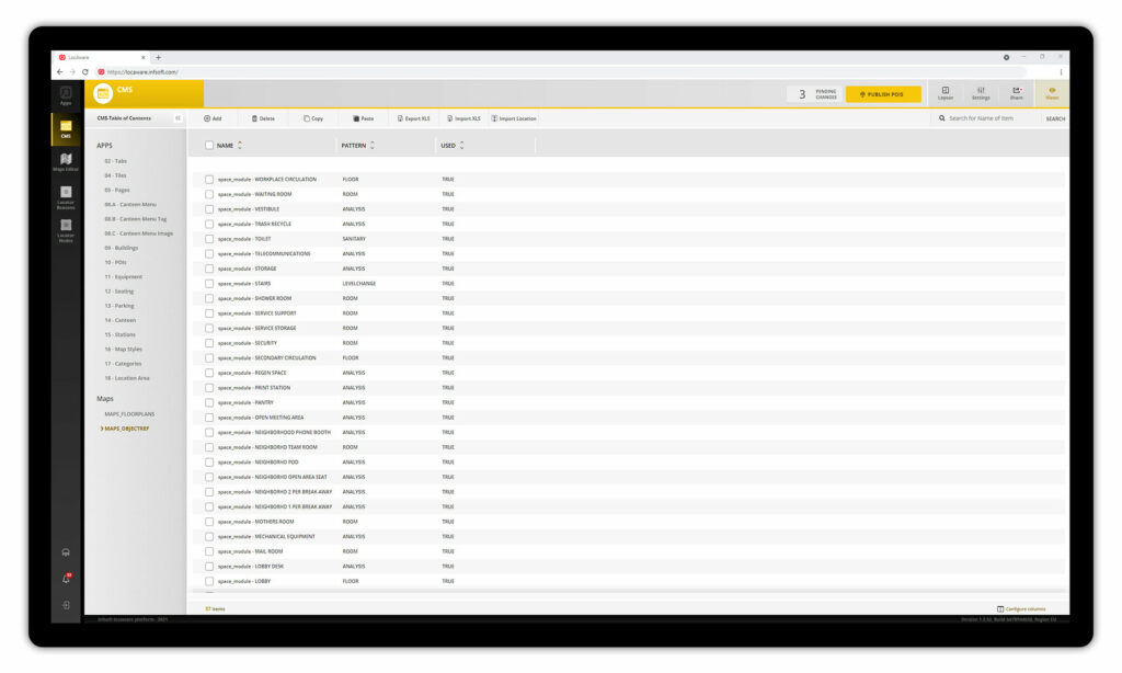
In infsoft CMS, the object references from the CAFM are resolved and converted.
Within the infsoft Maps Editor, the building data is displayed in the area map.

